Mt. Atago(愛宕山): Kyoto’s Scenic Spring Hike via Tsukinowadera(月輪寺)
#Kyoto Hikes #Mt.Atago
Mount Atago (愛宕山, Atago‑yama) rises 924 m above north‑west Kyoto and is home to Atago Shrine, a Shinto sanctuary famous for protecting people from household fires. Late April 2025, I, a coworker, and my five‑year‑old son caught the spring flowers—and a few unexpected challenges—on its less‑traveled Tsukinowadera Route. Here’s the full story, plus everything you need to plan your own safe, rewarding hike.
Route & Scenery
1. Getting to the Trailhead
- Train: From JR Kyoto Station, take the JR Sagano (San‑in) Line to Saga‑Arashiyama Station (about 15 min).
- Taxi vs. Bus: Exiting the quiet north side of the station, you’ll see a taxi stand. A 10‑minute ride to Kiyotaki (清滝) bus stop cost us ¥1,500 total—cheap when split between three people. Kyoto Bus also serves Kiyotaki, but departures are sparse. If you’re two or more, a taxi saves time and stress.
Quick tip: IC cards such as ICOCA or Suica work on Kyoto Bus, but not on taxis. Keep small cash handy.
2. Trail Overview
Hike Breakdown
- Kiyotaki → Tsukinowadera Gate
- 30 minutes along a flat riverside road; good warm‑up with Katsura River views.
- Tsukinowadera Gate → Tsukinowadera (月輪寺)
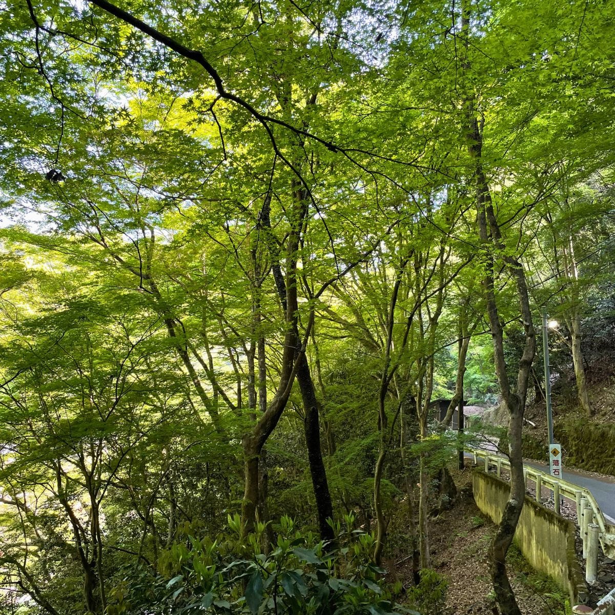
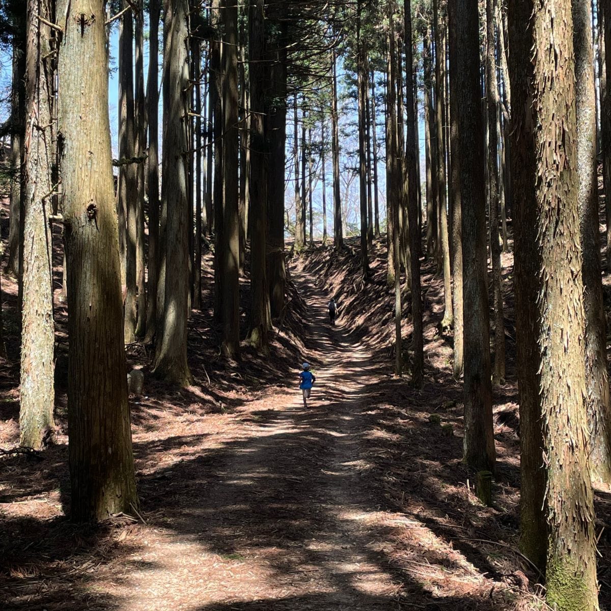
- About 60 minutes of steep switchbacks through cedar forest.
- Keep an eye out for wild deer and fading mountain azalea (yamatsutsuji).
- Temple → Summit Triangle Point
- Another 45–60 minutes of steady uphill.
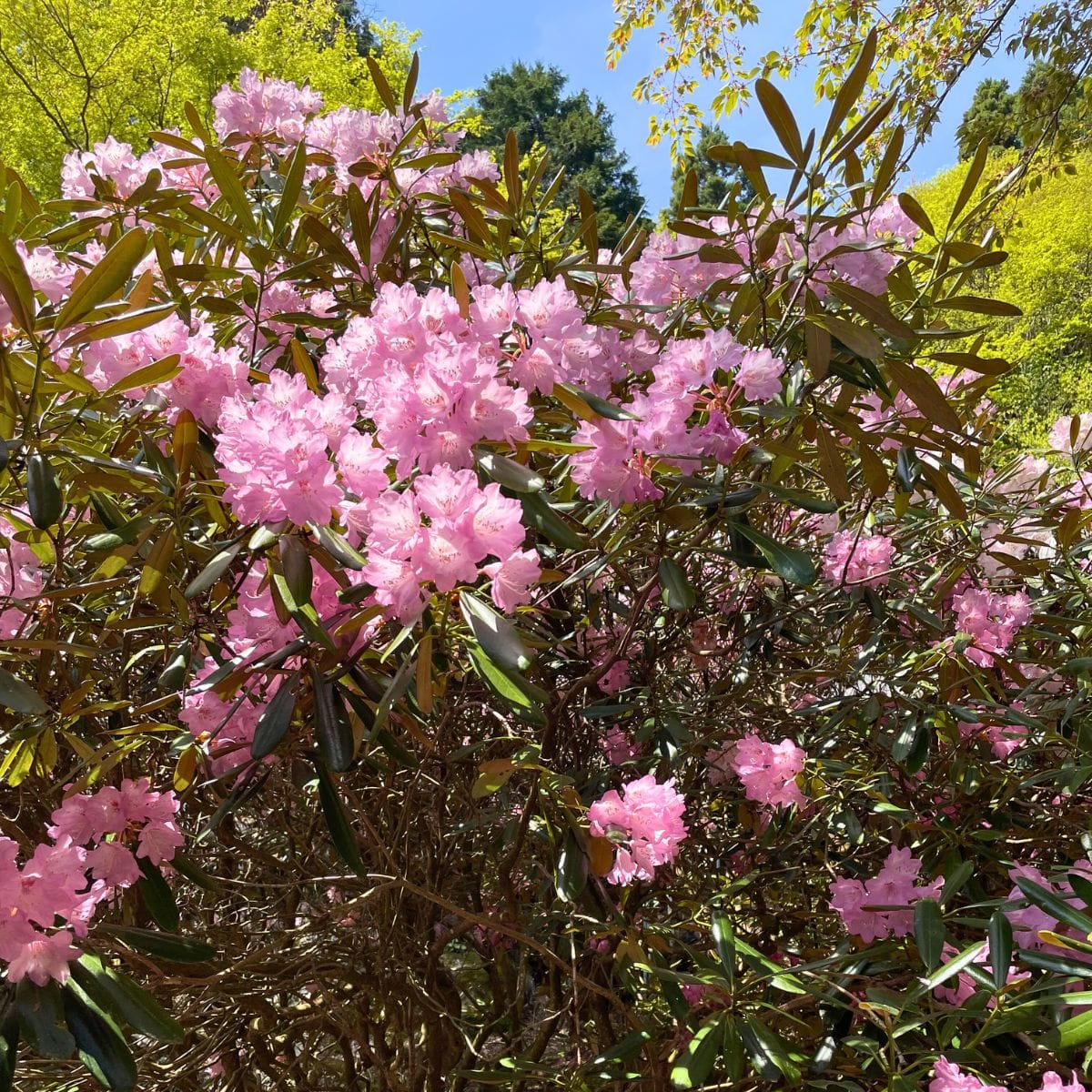
- Rhododendrons (shakunage) bloom in late April; panoramic city views appear as trees thin out.
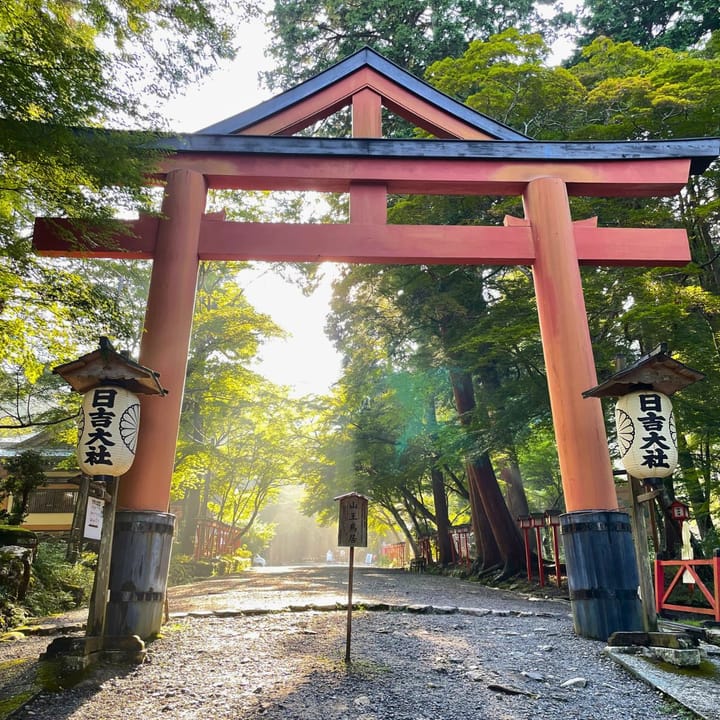
- Summit → Atago Shrine (愛宕神社)
- 5 min on an atmospheric stone path lined with ancient cedars.
- Vending machines and (very smelly) toilets await near the shrine.
Total ascent: ~900 m. Expect two hours up if you keep a brisk pace.
From Kiyotaki to Atago Shrine, expect around two hours one‑way if you keep a brisk pace.
3. Scenic Highlights
- Wildlife Moment – Near Tsukinowadera, a lone fawn stood so still I thought it was a statue.
- Flower Watch – I came hoping for vivid pink mountain azaleas, but most petals had already fallen. Instead, Tsukinowadera greeted us with rhododendrons in full glory—massive pink clusters.
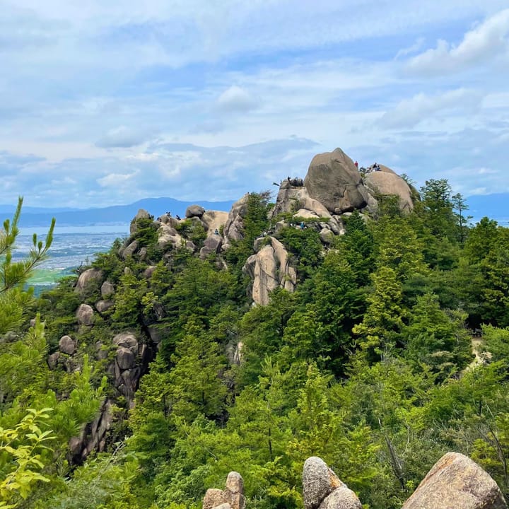
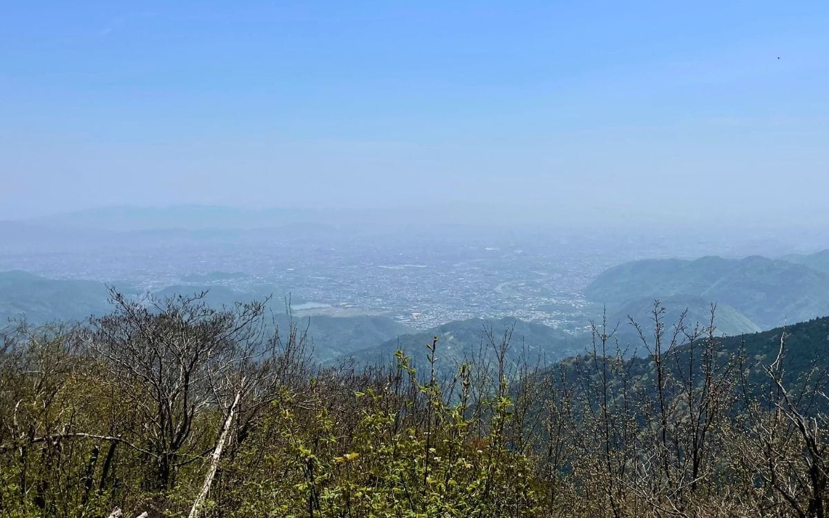
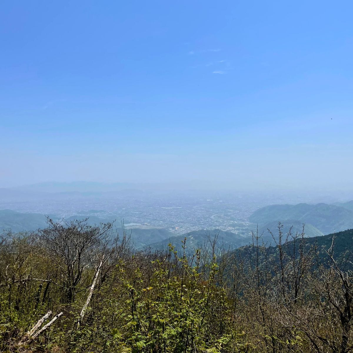
- Summit Vistas – The summit triangle point offers a wide slab perfect for lunch with sweeping views of the Kyoto basin. On a clear day, you can trace the Kamo and Katsura rivers snaking across the city.
Personal Notes
The Tsukinowadera Route is steep right after the riverside section. About 15 minutes below the top, my five‑year‑old son hit his limit—tiny legs, big emotions. Solution? Backpack on front, kid on back—instant 20 kg “power‑up.” My knees disagreed, but his smile came back.
At the summit, we celebrated with my ritual instant ramen lunch. Boiling noodles at 924 m somehow doubles the flavor; maybe it’s the mountain magic. I followed it with hand‑drip specialty coffee (my modest luxury on every hike).
Toilet Reality Check
Atago Shrine’s restrooms rely on limited water, so the odor is… memorable. One hundred meters away, you’ll know you’re close. Take deep breaths before entering and bring hand sanitizer.
Descent Drama
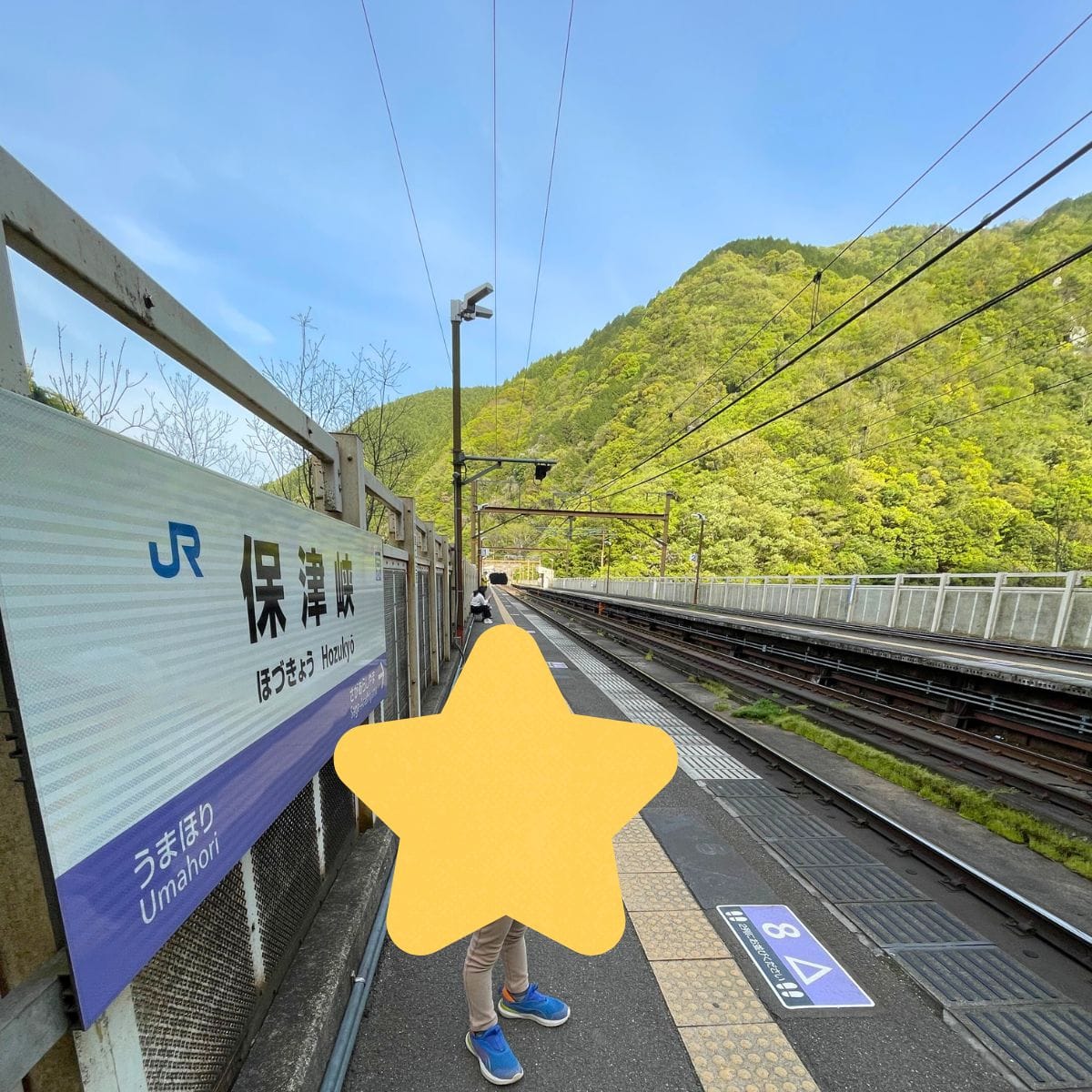
Instead of returning to Kiyotaki (and paying for another taxi), we veered toward Hozukyō Station (保津峡駅). The stone‑walled pilgrim path soon turns into a rugged forest track with knee‑high steps. For adults, it’s fun; for small kids, it’s an obstacle course. Sturdy boots are wise; my budget barefoot shoes left my soles aching by the last kilometer.
We popped out near the dramatic railway bridge spanning Hozu Gorge around 15:30. Trains clatter across the iron girders while kayakers paddle below.
Practical Tips & Cultural Notes
Essential Gear
- Water: 1–1.5 L per person (only vending machines at Kiyotaki, Near Atago Shrine, and Hozukyō station).
- Trekking poles: Helpful on the steep descent.
- Layered clothing: The Summit can be 5 °C cooler than Kyoto city.
- Cash: Taxis, vending machines, temple offering box.
- Headlamp: Entry after dark is forbidden, but delays happen.
- GPS app: Side path to Hozukyō is unmarked in English (YAMAP, AllTrails, etc.).
Transport at a Glance
- Outbound
- JR Kyoto → Saga‑Arashiyama (¥240 / 15 min)
- Taxi Saga‑Arashiyama → Kiyotaki (≈¥1,500 / 10 min)
- Return
- JR Hozukyō → Kyoto (¥410 / 20 min). Trains every 15–30 min.
Mountain & Shrine Etiquette
- Atago Shrine sells a hi‑mamori charm believed to ward off household fires. It’s a popular souvenir among Kyoto residents.
- No Fires on the Trail – Ironically, the mountain that protects from fire forbids open flames. Use gas stoves responsibly and carry out canisters.
- Tsukinowadera – A small Tendai‑sect temple. Drop a ¥100 coin in the offertory box; the silence inside the cedar grove is priceless.
Safety & Difficulty
- Total elevation gain: ~900 m (steep!).
- Round‑trip via Hozukyō: approx. 11 km, 5–6 hours moving time.
- Not recommended in heavy rain—slippery roots and long stone staircases.
- Winter conditions can include ice and snow; crampons may be required.
Family Verdict: Suitable for energetic kids 7 + who hike regularly. For younger ones, be ready to carry or choose the shorter standard route (Kiyotaki round‑trip).
Key Takeaways
- Carry enough water—vending machines are rare and expensive.
- Expect a workout; the Tsukinowadera Route is steeper (and quieter) than the main pilgrim stairs.
- Floral timing matters—mountain azaleas peak mid‑April, rhododendrons late April to early May.
- Toilets exist, but… brace yourself.
Mount Atago rewards every drop of sweat with panoramic city views, dense cedar forests, and a taste of Kyoto’s spiritual heritage.