How to Use YAMAP
– The Best Hiking App in Japan for Beginners
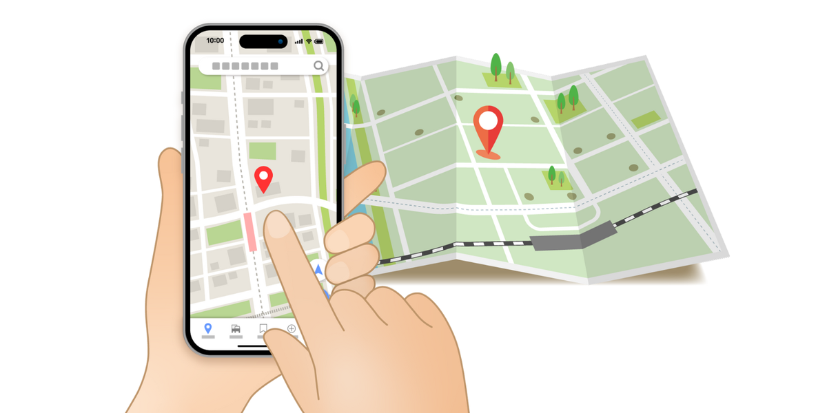
If you enjoy hiking in Japan, especially around Kyoto, YAMAP can be a valuable companion. It’s not only great for finding new trails, but also for staying safe and navigating without getting lost.
This guide will walk you through the basics—how to search for nearby mountains, check route details, and download maps for offline use.


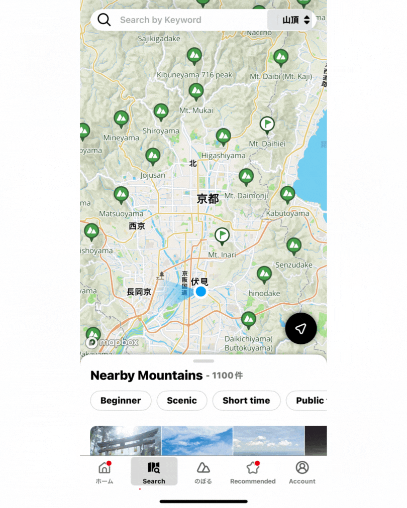
1. Searching for Nearby Mountains
When you open the app, tap the Search tab at the bottom.
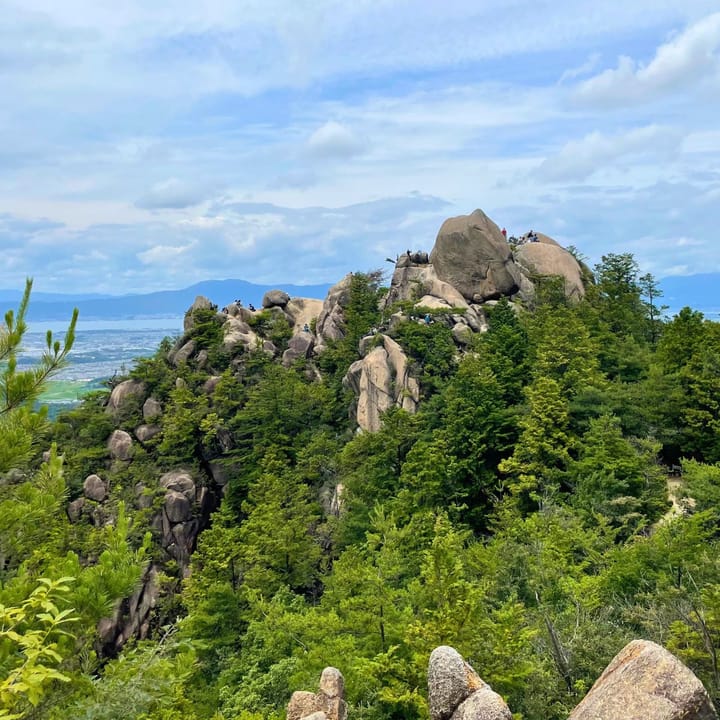
You’ll see a map with green mountain icons showing peaks near your current location. For example, if you’re in Kyoto, you might see Mt. Inari, Mt. Daimonji, or Mt. Hiei.
- Zoom in and out to explore the area.
- Tap on a mountain icon to see its name and location.
This feature is handy when you’re traveling—you can instantly see which trails are close to your hotel or train station.
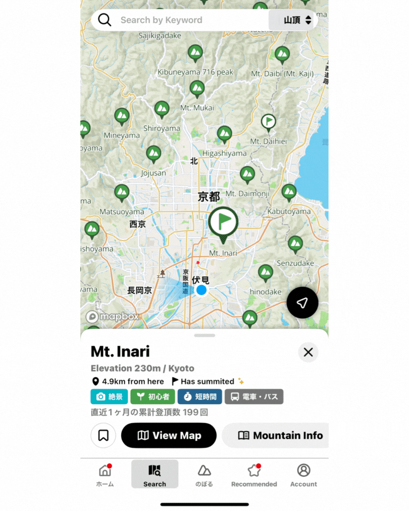
2. Viewing Mountain Details
Once you tap on a mountain you’re interested in, the app shows a detail page.
Here you can find:
- Elevation and basic information
- Distance from your current location
- Difficulty level and tags like “Beginner” or “Scenic”
- Public transport access info (very handy if you don’t have a car)
From here, tap View Map to see the hiking route.
3. Understanding the Route Map
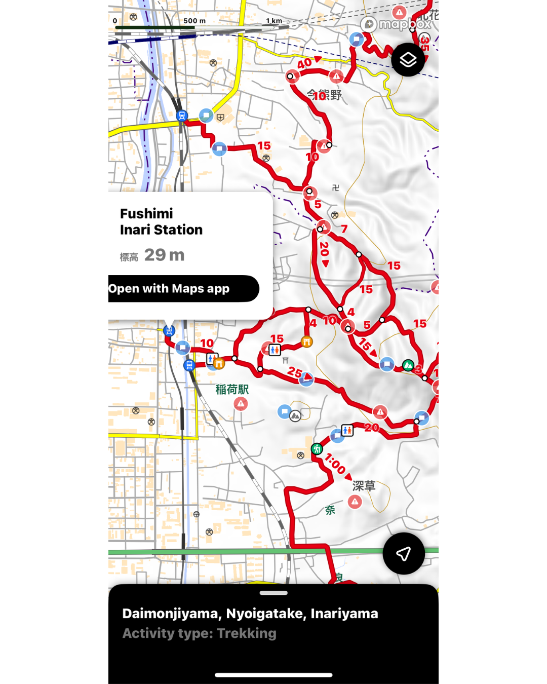
The route map shows the trail in red, with numbers marking estimated time (in minutes) for each section.
For example, “20” means it’s expected to take 20 minutes for that section.
This is only an estimate—walking speed varies between people, and conditions like weather, terrain, and rest breaks will change your pace.
- You can zoom in to see trail junctions, viewpoints, and toilets. Icons also indicate shrines, rest areas, and hazard points.
⚠ Important: Some mountain passes go through private land. Following the YAMAP route helps ensure you stay on official hiking trails and avoid unnecessary trouble.
In some cases, landowners kindly allow hikers to pass, but poor manners from visitors can lead to access being closed. Never enter areas marked as “No Entry.”
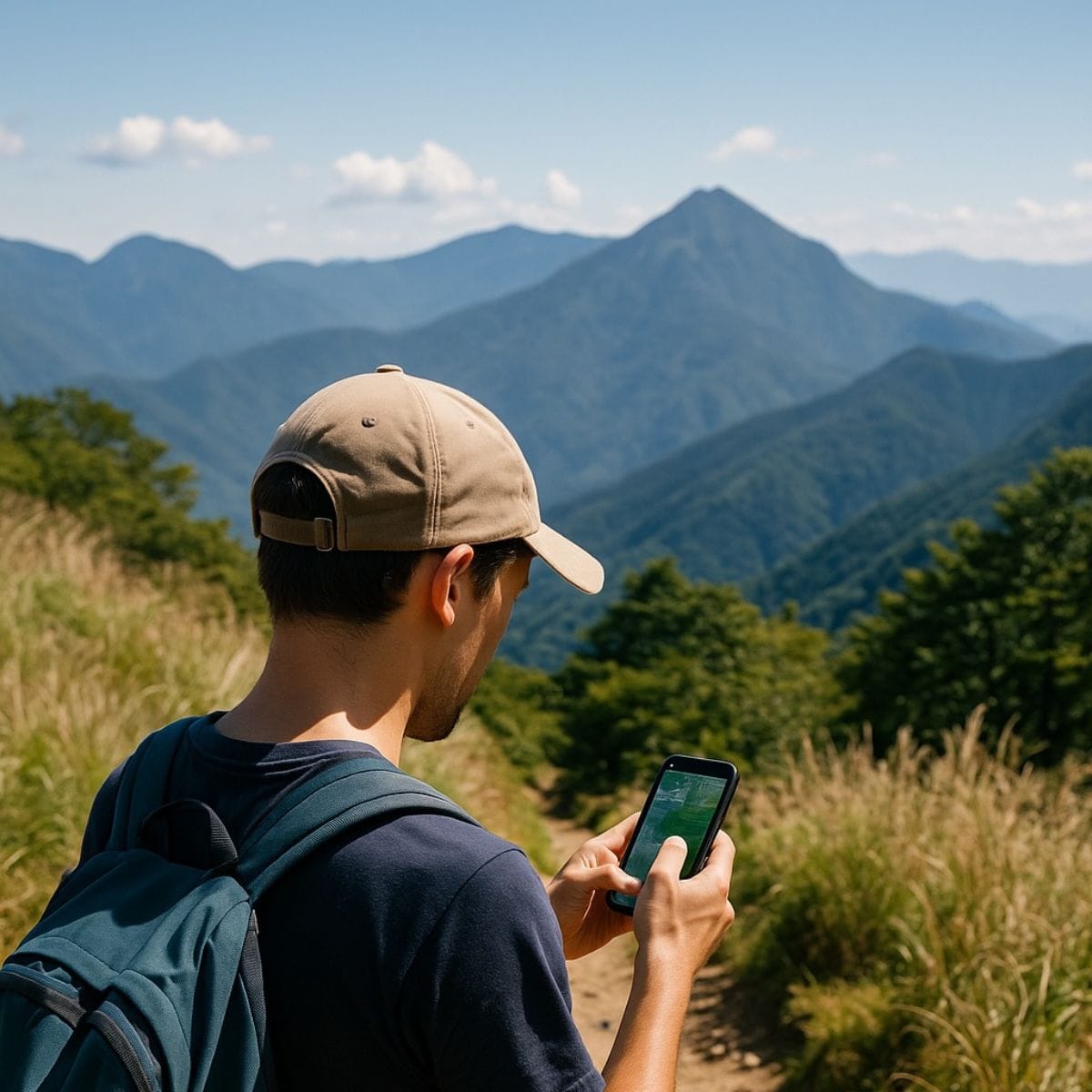
4. Downloading Maps for Offline Use
One of YAMAP’s most powerful features is offline maps.
Before your hike:
- Open the mountain’s route page.
- Tap the download icon to save it to your phone.
- Even without a mobile signal, your GPS will still show your location on the map.
💡 Tip: Download maps in advance when you have a stable internet connection—such as at your hotel’s Wi-Fi—so you’re not using mobile data in the field.
This greatly reduces the risk of getting lost, especially in remote areas.
5. Creating Your Route
If you want to explore beyond the default paths, YAMAP also allows you to:
- Record your hike in real-time
- Mark interesting points (viewpoints, lunch spots, temples)
- Save and share your route with friends
Why I Recommend YAMAP
- Beginner-friendly – Easy to find mountains and plan a safe hike
- Safety boost – Offline maps + GPS help you stay on track
- Local knowledge – Many routes are uploaded by other hikers, often with photos and seasonal notes
Whether you’re hiking Mt. Inari for the first time or exploring lesser-known Kyoto trails, having YAMAP in your pocket is like having a local guide.
Free Account Limitations (as of 2025)
If you use YAMAP with a free account, there are some restrictions compared to the paid version:
- Offline maps – Limited to one downloadable map at a time
- Past activity records – Limited storage period (older logs may be deleted)
- Advanced safety features – Some are available only to premium members
- No unlimited route downloads – You must delete a previous map before downloading a new one
For casual day hikers, the free plan is usually enough, but if you hike often or in multiple regions on one trip, consider upgrading.
Final Tip: Always carry a paper map or backup plan. Technology is great, but batteries can die!