Best Hiking Apps in Japan: YAMAP, AllTrails & More
Stay Safe and Find the Best Trails
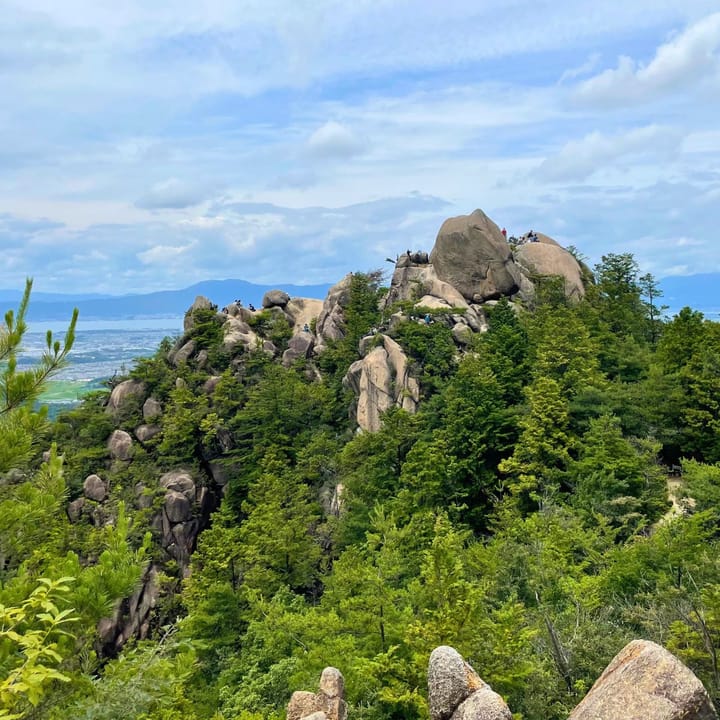
Hiking in Japan is an incredible experience. If you’ve hiked in your home country, you might expect trail signs everywhere. In Japan, it’s not always so clear.
Some routes are well marked with arrows and ropes, but others are confusing, especially since most of the signs are only in Japanese language.
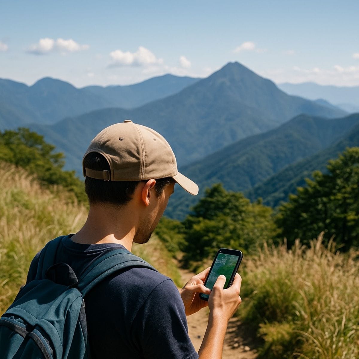
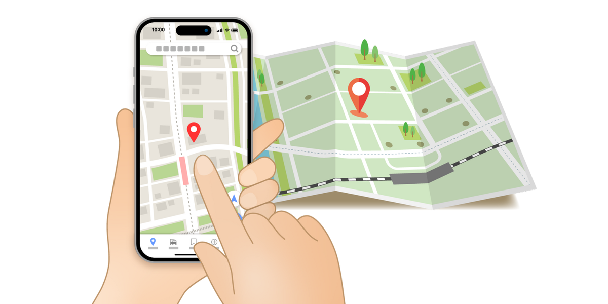
Paper maps are useful, but for visitors who don’t read Japanese, they can be tricky. That’s why a reliable Japan hiking app becomes your best friend. It shows where you are, even when the phone signal disappears deep in the forest.
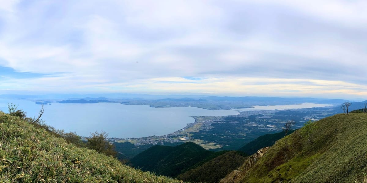
Even in low-altitude mountains, it is easy to get lost if you underestimate the terrain. You don’t want your fun trip to turn into a panic-filled experience of fear and anxiety, right?
Once you start using a smartphone with GPS and offline maps to pinpoint your current location, you’ll feel such a sense of security that you won’t want to hike without it. Be sure to give it a try! Having a reliable smartphone app can make a huge difference in navigation, safety, and finding hidden gems. Here are some of the best hiking apps for Japan, including ones that support English.
Top Hiking Apps in Japan
1. YAMAP – Offline GPS and Trail Maps
Available in English (Partially)Website
If you’re new to YAMAP, one of Japan’s most popular hiking apps, check out my step-by-step guide on how to search for mountains, read trail maps, and download routes for offline use.
YAMAP is one of the most popular hiking apps in Japan. Unlike Google Maps, YAMAP works offline even for free users, making it ideal for mountain hiking where signal reception is unreliable. One great feature of YAMAP is that it is beginner and intermediate-friendly, as it does not display all possible trails but instead focuses on safe and well-maintained routes. This makes it easier for hikers to avoid dangerous or unmarked paths. Additionally, an Apple Watch app is available, allowing you to check your progress and location without pulling out your phone.


Key Features:
- Offline maps: Download maps before your hike so you can navigate without an internet connection.
- User-submitted trails: Find detailed route information and reviews from other hikers.
- Safety features: Share your hiking location with friends and family in real-time.
- Tracking your route: Record your hike with GPS and see your progress on a topographic map.
- Mountain weather forecast: Provides weather updates specific to hiking areas.
- Hiking reports & community: Read user-submitted reports on trail conditions and recent updates.
- Gear & equipment tracking: Log your hiking gear to keep track of wear and tear.
Downsides:
- The English interface is limited, but the maps and basic functions are still usable.
- Some user reviews and comments are only available in Japanese.
- The trail database is not as extensive as other apps, as it prioritizes safe and commonly used routes rather than every possible hiking path.
2.AllTrails – International-Friendly with Huge Global Database
If you are already using AllTrails back home, you’ll be glad to know it also works in Japan. With more than 400,000 trails worldwide, AllTrails has a large database of routes contributed by users, including many around Kyoto and the Kansai region. It’s especially useful for international travelers because the app is available in English and many other languages.

Key Features:
- Global coverage, with a familiar interface if you already use it abroad.
- Easy to search by location, difficulty, or trail length.
- User reviews and photos can help you get a sense of the route before you go.
- Works offline if you download the map in advance (Pro subscription required).
- You can also import GPX files, so feel free to download the GPX routes we share on this site and use them directly in AllTrails or any other GPS app.
Downsides:
- Trail coverage in Japan is not as detailed as Japanese apps like YAMAP or YAMARECO. Some local paths may be missing.
- Route data and descriptions are often uploaded by individual users, so accuracy can vary.
- Fewer safety and hazard alerts compared to Japanese apps.
Best For:
Travelers who already use AllTrails and want to keep their hiking records in one place. It’s also a good backup app if you want to cross-check trails found on YAMAP.
3. YamaReco(ヤマレコ)– Comprehensive Trail Database for Experienced Hikers
Available in Japanese only. Website
YAMARECO is another widely used hiking app in Japan, particularly among experienced and advanced hikers, in my personal opinion. It has a longer history and a larger community than YAMAP, making it a valuable resource for those looking for detailed route information, including lesser-known trails. Unfortunately, the app does not offer an English interface, which can be a significant barrier for non-Japanese speakers. However, if you can read Japanese, this app is an excellent tool for serious hikers.
Key Features:
- Extensive trail database: Includes many routes not available on YAMAP, making it ideal for advanced hikers.
- User-generated maps & GPX files: Download and use custom hiking routes uploaded by other users.
- Real-time trail updates: Users frequently post trail conditions, warnings, and recent weather impacts.
- Elevation & difficulty tracking: Get detailed data on elevation changes and trail difficulty.
- Apple Watch app support: Check maps and tracking data directly from your wrist.
- Emergency support features: Allows you to notify others of your location in case of an emergency.
- Gear sharing & rental services: Users can exchange or rent hiking gear via the platform.
Downsides:
- No English support: Navigation and user-generated content are entirely in Japanese.
- More complex UI: Designed for experienced hikers, so it may be overwhelming for beginners.
- Some trails are unverified: Because the app allows users to upload custom routes, some trails may not be well-maintained or officially recommended.
Comparison Table: Hiking Apps in Japan
Comparison Table: Hiking Apps in Japan
| App | Language | Offline Maps | Best For | Free/Paid |
|---|---|---|---|---|
| YAMAP | Japanese + English beta | ✅ | Most reliable for Japan’s trails | Free / Premium |
| AllTrails | English | ✅ (paid) | International visitors | Free / Paid Pro |
| YAMARECO | Japanese | ✅ | Japanese hikers, detailed logs | Free / Premium |
| Google Maps | English / Japanese | ❌ | Trailheads & casual city walks | Free |
Japanese hikers often rely on YAMAP or YAMARECO for detailed local coverage, hazard alerts, and community features. International hikers may prefer the familiarity of AllTrails, especially if they want to keep all their hikes in one account.
👉 On this site, we provide GPX files for many of the routes we write about. These files can be imported into AllTrails, YAMAP, Geographica, or any GPS app. Feel free to download and use them so you can follow the same trails safely with your preferred app.
Trail GPX files available for Day hikes around Kyoto
Tips for Using Hiking Apps in Japan
- Download Maps Before Hiking
Many mountains have no signal. Always save your route offline. - Bring an Extra Battery
Cold weather + GPS = fast battery drain. A small power bank is a lifesaver. - Don’t Rely Only on Your Phone
Batteries die, phones fall. Carry a paper map if possible. - Check Trail Conditions
On YAMAP, hikers often post recent reports—very useful after storms. - Respect Mountain Etiquette
Apps help with navigation, but remember: greet other hikers with a cheerful “konnichiwa,” and always pack out your trash. Leave no trace.
Conclusion: Which App Should You Choose?
If you’re planning a hike in Japan, having a reliable app can make your adventure safer and more enjoyable.
- If you want the most reliable hiking app in Japan → Choose YAMAP.
- If you want a familiar international app in English → Go with AllTrails.
- For city walks or casual temple strolls → Even Google Maps is enough, the best Japanese walking app for simple needs.
So, before your next adventure, download one (or two) of these apps and test them. Also, make sure to download maps, check local weather conditions, and familiarize yourself with your chosen app’s features.
Happy hiking!